[Bookmark this page!] Risk Distribution Map – CURRENT!
DATE:2021-08-19
The Japan Meteorological Agency has created a “risk distribution map”.
The "Kikendo Bumpu" shows the most dangerous areas during heavy rains.
Check the color key for the level of danger.
There is also information on where people, according to their areas, can evacuate to during dangerous weather, heavy rains, earthquakes, tsunamis, volcanoes, etc.
Japanese users can search the web with “kikikuru” (キキクル).
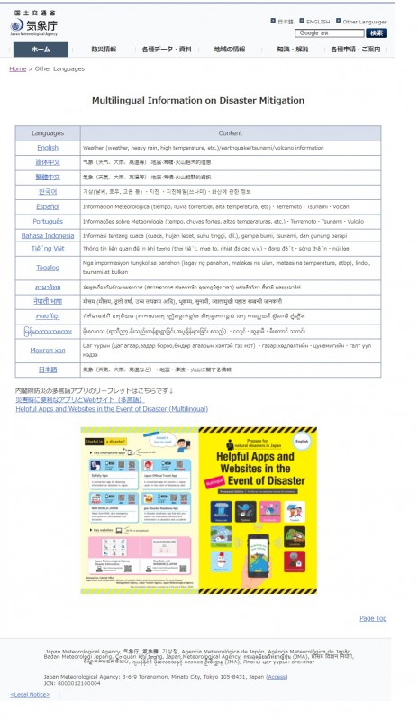
Current information is presented in 14 different languages. River names are only written on the Japanese page.
If you know your location, the Japanese page may be easier to use.
Please try using it.
English 简体中文 繁體中文 한국어 Español
Português Bahasa Indonesia Tiếng Việt Tagalog
ภาษาไทย नेपाली भाषा ភាសាខ្មែរ မြန်မာဘာသာစကား Монгол хэл
日本語
Click the following for information on helpful multilingual weather apps prepared by the Cabinet Office of Disaster Prevention (Naikufu bosai).
災害時(さいがいじ)に 便利(べんり)なアプリとWebサイト(多言語(たげんご))
Helpful Apps and Websites in the Event of Disaster (Multilingual)

This information is created by referring to the website of the Japan Meteorological Agency.
↓↓↓Please share